Earth zoom
Also calledGoogle Earth zoom, satellite zoom, planet zoom, orbital dive
An earth zoom is a continuous camera move that appears to start from a satellite or orbital view of the whole planet and dive down, without a visible cut, to a specific location on the ground. It gives the viewer an instant sense of scale and geography, placing a small human story inside a vast, mapped world.
What it tells
Directors reach for the earth zoom when they need to plant a story on the map before anything happens. It tells the audience where we are in one breath, borrowing the authority of satellite imagery and news broadcasts to feel factual and immediate. Because the move never cuts, it also implies surveillance, fate, or an omniscient narrator looking down, which is why it shows up so often in thrillers, war films, and disaster documentaries introducing a location.
How it is shot
The shot is built as a VFX composite, not a real camera move. Artists start with a CG globe or satellite plate showing continents and cloud layers, then digitally zoom and descend along a curved path that matches the planet's rotation and atmospheric haze. As the frame nears the ground, the composite blends into a matte painting, drone plate, or live-action aerial shot of the actual location, timed to hide the transition inside cloud cover or motion blur. The whole descent typically runs 4 to 8 seconds, animated with an eased zoom curve (slow, then fast, then slow) so the eye can track scale changing by orders of magnitude without losing orientation.
When to use it
- Opening a film or episode by establishing a real-world location before the first scene
- Introducing a new country or city in a globe-trotting thriller or heist story
- Transitioning between parallel storylines happening in different parts of the world
- Framing a natural disaster, storm, or climate story with a sense of planetary scale
Not to be confused with
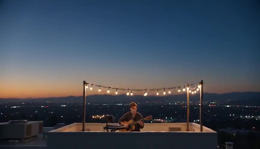
An aerial pullback moves the opposite direction, rising away from a ground subject into the sky, and it usually stays within one continuous aerial plate rather than compositing all the way to orbit.
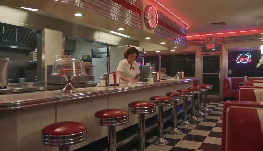
A crash zoom is a fast, jarring optical or digital zoom within a single scene for shock or comedy, while an earth zoom is a slower, composited descent across an entire planet used to establish geography.
In film
Burn After Reading (2008)
The opening shot begins on Earth from space and dives down to CIA headquarters in Langley, parodying spy film surveillance geography.
Powers of Ten (1977)
After zooming out to cosmic scale, the film reverses course and descends from space back to a Chicago picnic, defining this visual idea.
The prompt
Name the technique directly and describe the path as one unbroken descent: start with curvature of the planet, atmosphere haze, and moving clouds, then dive through the cloud layer and keep going without a cut until the frame settles on the ground subject. Mention an eased speed (slow, then fast, then slow again) so the model does not render a jump cut. Avoid asking for readable map labels, coordinates, or brand names, since text and logos will not render cleanly.
The exact prompt that rendered the video on this page. Keep the description of the move, change the subject and the setting.
Earth zoom: one continuous shot beginning from high orbit, showing the curved edge of the planet against black space with thin white clouds drifting below. The camera dives straight down through the cloud layer, accelerating smoothly, atmosphere thickening into gray storm haze, until it breaks through into a coastal seascape at dusk. It keeps descending without a cut, revealing crashing waves and rain, and settles on a stone lighthouse on a rocky cliff, its beam sweeping through the storm, ending in a static wide framing. No text.
Common mistakes
Visible seam at the transition
If the switch from globe to ground plate is not hidden inside clouds or motion blur, the composite reads as two shots stitched together instead of one continuous dive.
Wrong planetary scale
Continents, cloud size, or the speed of the fall that do not match real orbital geometry break the illusion and make the descent feel like a cartoon zoom instead of a believable satellite dive.
Descending too fast
Rushing straight from orbit to ground in under a second removes the sense of scale the shot exists to deliver, so viewers never register the distance being covered.
Frequently asked questions
What is an earth zoom?
It is a camera move, built as a visual effects composite, that appears to travel without a cut from an orbital view of the planet down to a single point on the ground, used to establish a location's place in the world.
Is an earth zoom a real camera move?
No. No physical camera or lens travels from space to ground in one take. It is assembled from satellite or CG globe footage matched and blended with a ground-level or aerial plate to feel like one continuous shot.
Can I get an earth zoom from an AI video model?
Yes, tools built on models like Seedance, Kling, Veo, or Wan can render the illusion in a single generated clip if you describe the descent, cloud layer, and landing point explicitly, which is how Imaginode approaches this shot.
Why do films use an earth zoom instead of just an establishing shot?
An earth zoom adds a sense of scale, urgency, or surveillance that a static establishing shot cannot, because the audience feels the distance collapse from the whole planet down to one specific place and person.